12 Free Google Maps Alternatives
There are many websites offering satellite or aerial photos, scanned street or road maps, traffic information or photos from interesting touristic places.
The websites in this article group all that information in a comprehensive service usable with a web browser like BriskBard.

These websites usually also include a search service, a route planning service and other interesting information from each location.
However, not all these web pages have the same detail level for every place in the map. In some occasions, the most detailed information is only available for the country of the service owner.
This is the web mapping services list, in alphabetical order :
![]()
ArcGIS Online describes itself as a complete cloud-based mapping platform.
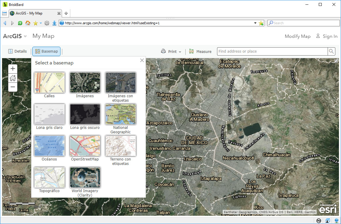
ArcGIS is a geographic information system or GIS used to create, manipulate and analyze geographic information using a desktop application but in the website there is a global map available where you can search for locations, print maps, measure distances and share maps.
The ArcGIS Online map allows you to select from 11 base maps : street map, satellite images, topographic map, national map, oceans, etc.

![]()
In addition to a web search engine, Baidu also offers a web mapping service that includes satellite images, aerial photographs, street maps, panoramic street views and route planners by foot, car or public transportation.
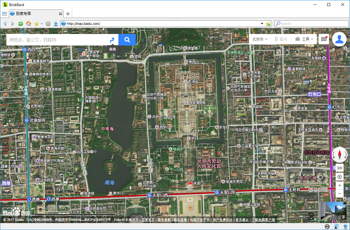
It’s only available in Chinese and it shows the maps and data from another services like OpenStreetMap and Here.
![]()
Microsoft’s search engine Bing also offers a web mapping service called Bing Maps.
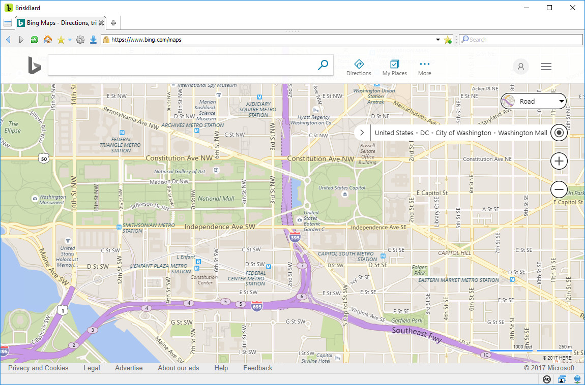 It’s available in multiple languages and it includes satellite images, aerial photographs, panoramic street views, bird’s eye street views, 3D street views, etc.
![]()
Google Maps is based in a desktop mapping application made by an Australian company called “Where 2 Technologies” which was acquired by Google in 2004.
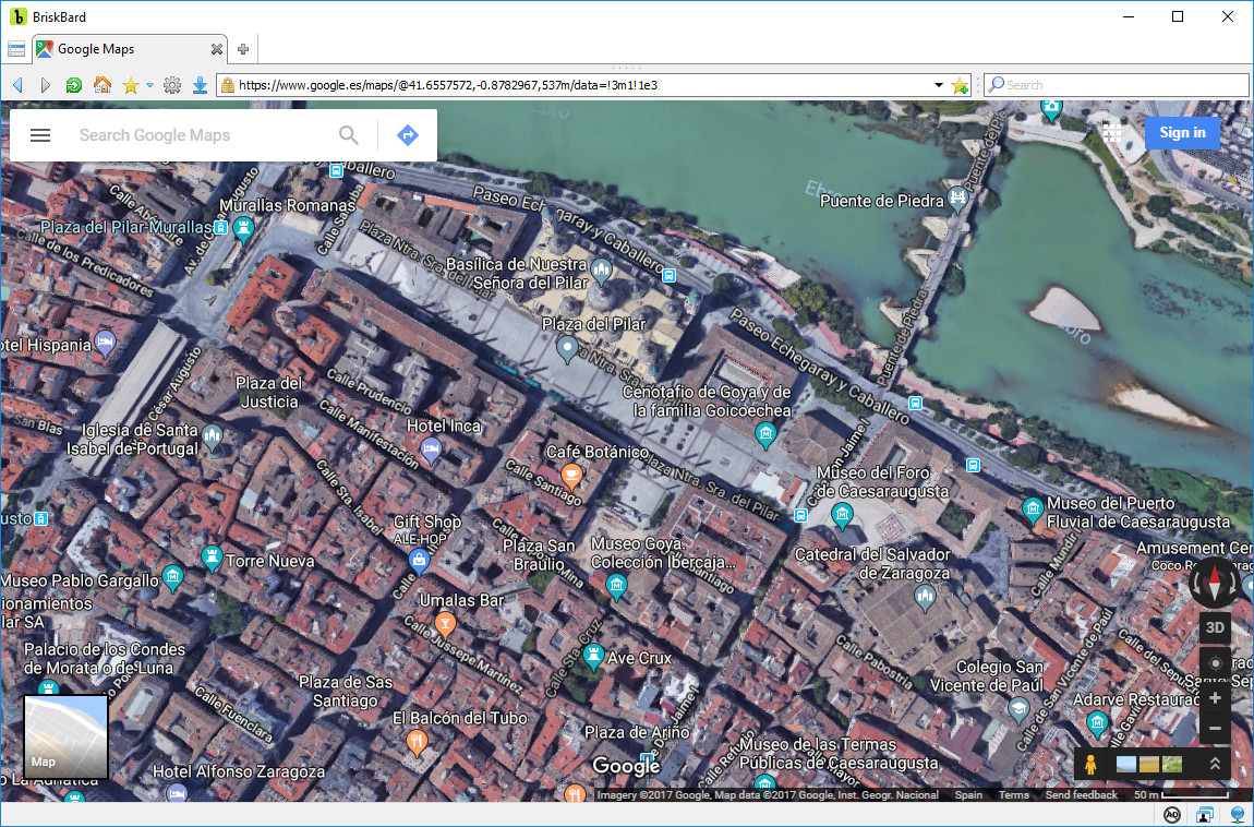
Google Maps has aerial photographs, satellite images, street maps, panoramic street views, traffic information in real time and route planners by foot, car, bicycle and public transportation.
![]()
Here is a multinational company property of Audi, BMW, Mercedes and Intel, among others, and it's a provider of mapping data and other related information like traffic, parkings, roads, etc.
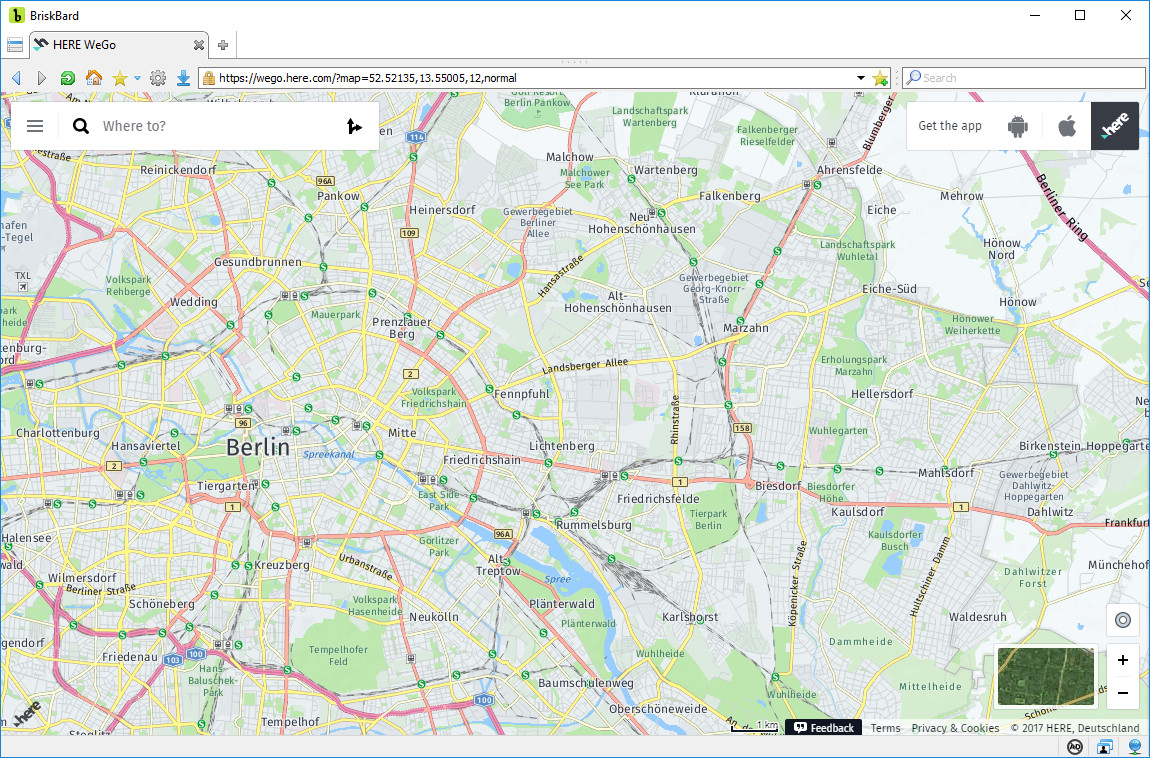
Here WeGo is the web mapping service offering road and street maps, aerial photographs, satellite images, real-time traffic information, route planning and information about public transportation and points of interest.
![]()
Mapillary is a Swedish company founded in 2013 that offers a web mapping service where the users can share geotagged photos.
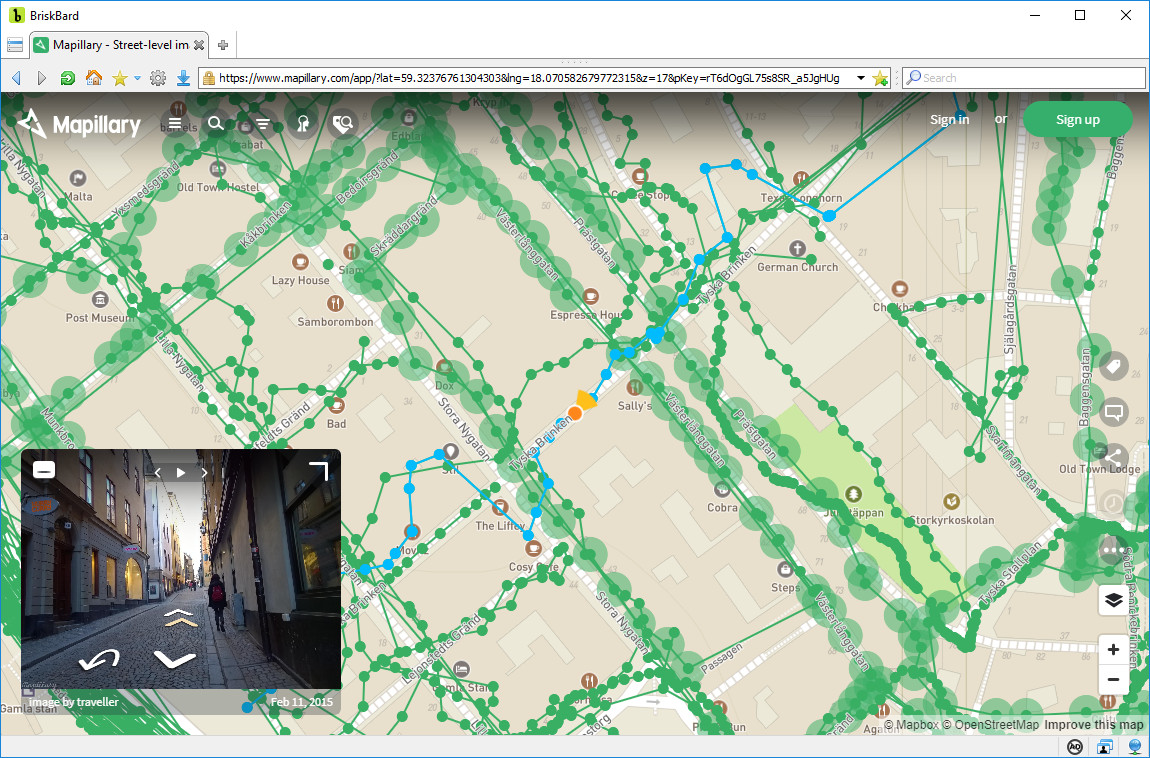
Mapillary shows maps from OpenStreetMap with the geotagged photos and it allows you to see the sequence of photos taken en route by the users.
As of 2017, Mapillary has more than 220 million photos from all over the planet and anyone can use them under the Creative Commons license.
![]()
MapQuest began its free web mapping service in 1996 and it was acquired by Verizon Communications in 2015.
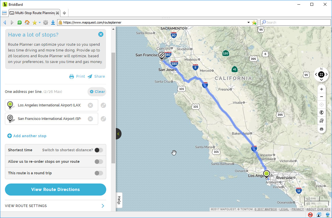
It has street maps, aerial photos and satellite images. It also includes information about traffic, hotels, restaurants, pharmacies, shops, gas stations, airports, parkings, etc.
![]()
ViaMichelin is a subsidiary of the Michelin Group, the second tire manufacturer in the world, and it provides travel assistance products and web mapping services.
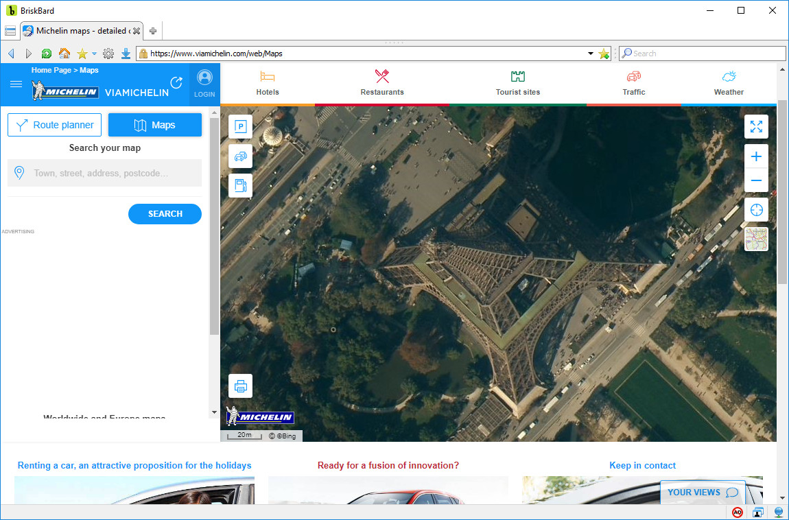
Michelin Maps shows aerial and satellite photographs, street maps and road maps including information about gas stations, restaurants, traffic conditions, parkings, points of interest and weather information.
It’s possible to search for places, plan routes and print the resulting maps.
![]()
OpenStreetMap is a project that uses the data given by volunteers to create a free world map.
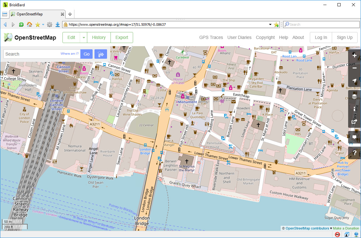
Since its creation in 2004 its database has grown exponentially, surpassing 800 gigabytes in July of 2017.
The map data is distributed under the ODbL license and it’s being used by thousands of websites, applications and devices.
Openstreetmap.org shows road and street maps that include points of interest, bicycle lanes and public transportation. It also allows you to search for places, plan routes and share the maps.
![]()
Rand McNally is an American company dedicated to navigation devices and mapping services.
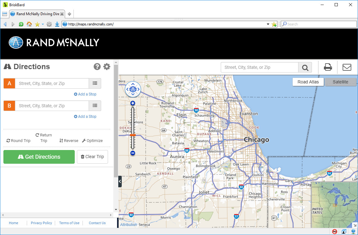
Its website includes street and road maps, satellite images and aerial photos. It allows you to plan routes, print and share the maps by email.
![]()
Waze is an app for smartphones and tablets used for GPS assisted navigation. It was developed by an Israeli company called “Waze Mobile” and it was acquired by Google in 2013.
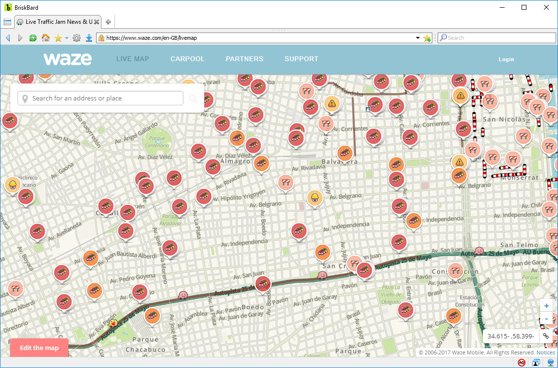
The users can add information in real time about traffic conditions, gas prices, etc.
Its website includes a web mapping service with street maps that show all the information sent by the users and it also allows you to search for places.
![]()
Wikimapia is a web mapping service that includes information given by volunteers about each place.
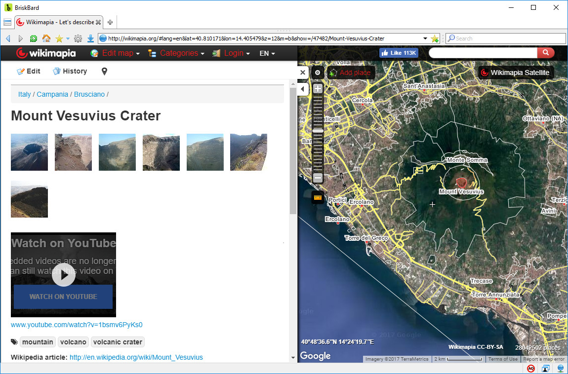
Wikimapia shows road and street maps, satellite and aerial photos and the points of interest offered by Google, Bing and OpenStreetMap.
The volunteers mark places and add descriptions, links and photos. Later, Wikimapia users can access that information by clicking on that place in the map.
![]()
One of the many services offered by Yandex is a web mapping service called Yandex.Maps. It started in 2004 and it shows road maps, satellite photos and hybrid maps with points of interest.
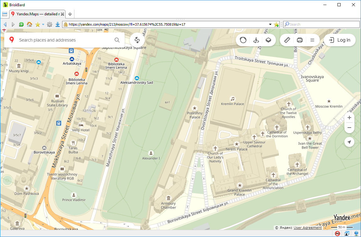
It also includes route planning, map printing, traffic information, photos from touristic places and panoramas from some locations.
BONUS : In case you only need the map of one country, the following link shows you a list of many other websites with local maps.
Disclosure Statement: This site and BriskBard contains affiliate links, which means that I may receive a commision if you make a purchase using these links. As an eBay Partner, I earn from qualifying purchases.